

A Himalayan trek that takes you to the source of the Holy River Ganga should be one of the most sought-after treks and yet The Gaumukh Tapovan Trek remains extremely underrated.
The term Gaumukh means the “mouth of a cow” and the glacier is named so because of its seeming resemblance to the snout of a cow. It holds extreme significance as it is a holy Hindu pilgrimage site that many devotees visit along with Gangotri.
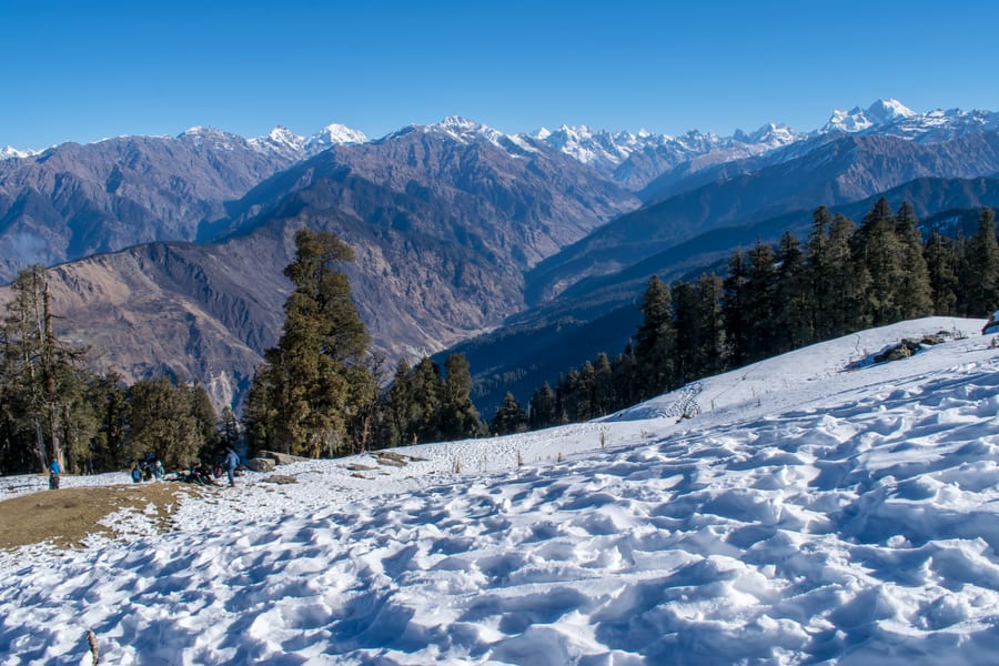
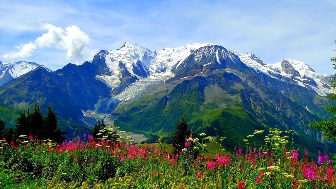
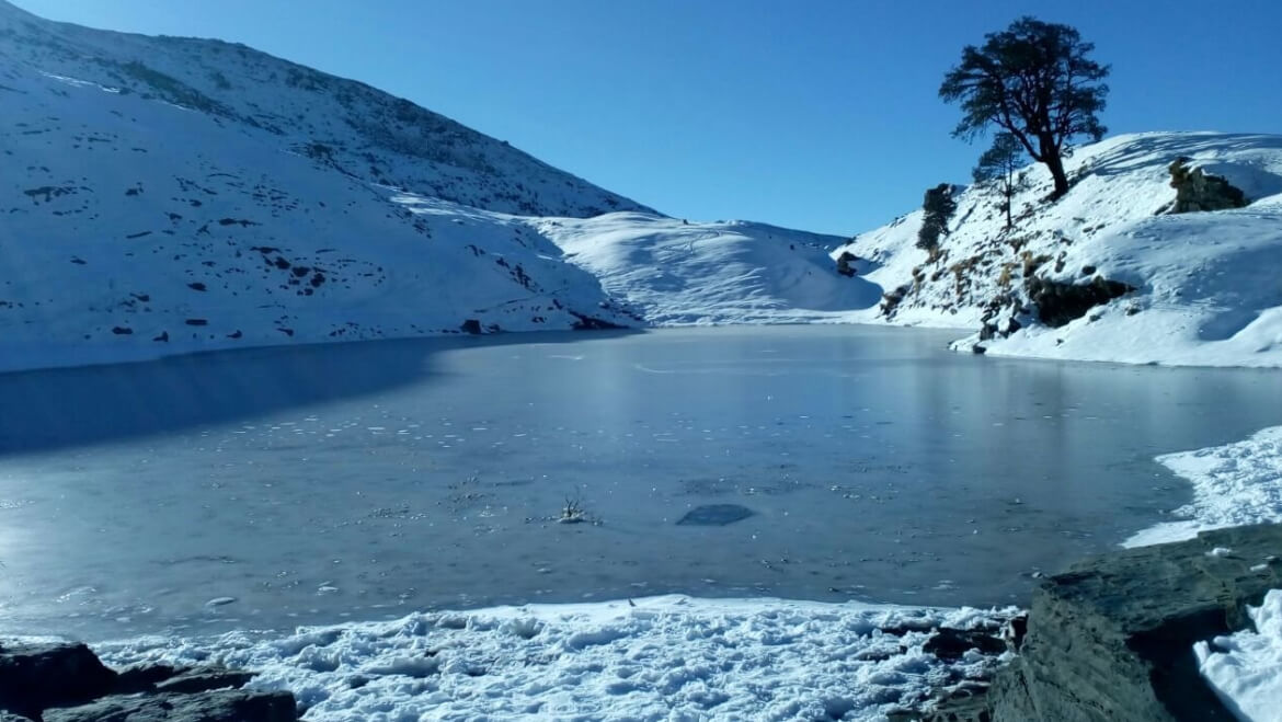
Nestled at an altitude of 14,600ft in the Uttarkashi district of the state of Uttarakhand, the Gaumukh Tapovan Trek offers a spectacular view of the Garwhal Himalayas with Mt.Shivling and the majestic Bhagirathi massif being the most prominent ones.
Stretching to an expanse of 46 Km, the trail leads you to Gaumukh which is the terminus of the Gamukh Glacier as well as the source of the Bhagirathi River. The Bhagirathi river along with the Alaknanda river comes together in the Devprayag region of Uttarakhand as the holy river Ganga.
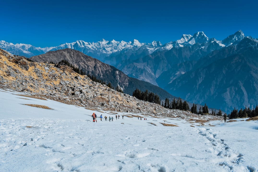
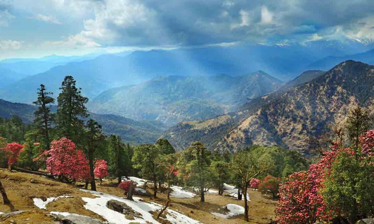
The Gaumukh Tapovan Trek starts from Gangotri and takes you through the Gangotri National Park which is abode by the rare snow leopard along with many rare species of flora and fauna.
An 8-day trek that is a blend of spirituality and adventure, The Gaumukh Tapovan trek is a moderate-difficult trek that takes you through steep ascents, rocky formations, grasslands, and lush green forests to offer you some of the most glorious views you’ll ever get to witness.
Itinerary
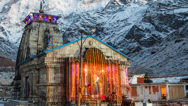
The ideal way to travel from Dehradun to Gangotri is by road. Start early from Dehradun so that you reach Gangotri by early evening, in time to enjoy the ‘aarti’ (divine ritual) at River Bhagirathi and also visit the Gangotri temple.
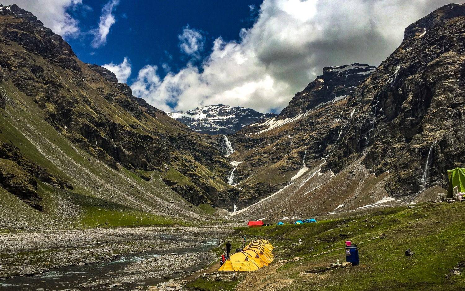
This is the first day of trekking and you will be covering around 14 km. Start early so that you can enjoy the trek at leisure and also because only a certain number of visitors are allowed to enter the park every day. The park checkpost, around 2 km away, opens at 6.00 am. Therefore, it would be best to leave Gangotri around 5 am so that you reach the check-post by the time it opens. The permits are checked here and you can pay the permit fee here if you have not already paid online. The administration will also check your bags to see how many plastic goods you are carrying – bottles, food packets etc. The count in written on your permit. They will collect a deposit fee from you (which will be refunded when you show them the exact count on your return). This method has stopped people from littering. After walking for one km more, the Bhagirathi river will join you and will accompany you for a long time. After walking for around 6 km more, you will reach Chirbasa (at an altitude of approx 3,400 m) in five hours. This is where you can break for lunch. The route gets adventurous from here, passing through a couple of rock-fall zones. The ascent is gradual and the trek, comfortable. Carry a water bottle, which you can refill from the waterfalls and mountain streams on the route. The around 6-km trek from Chirabasa will bring you to Bhojbasa (3,800 m), in about four hours. This is where you will stay for the night. You can also set up your camp at Bhojbasa. Camping after Bhojbasa up to Gaumukh is prohibited.
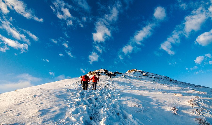
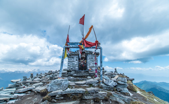
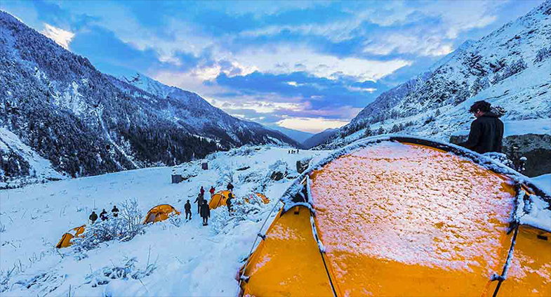
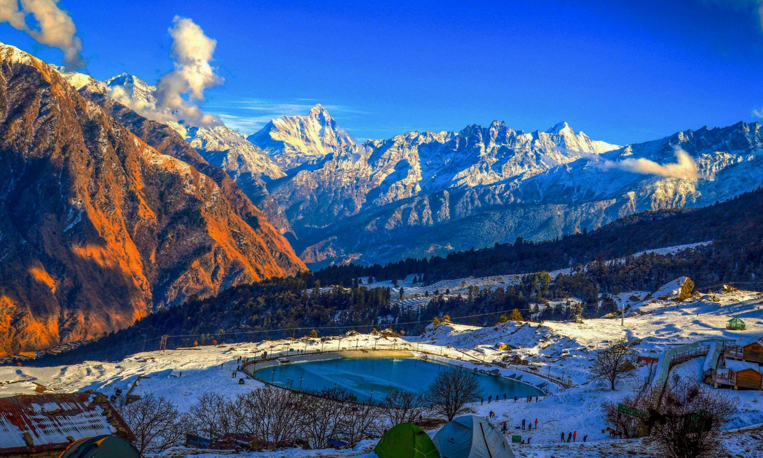
The 4-km trek to Gaumukh (at an altitude of 4,000 m), is very interesting; you will cross unnamed streams, hop across boulders and you will be constantly accompanied by jaw-dropping views of snow-clad mountains. The trail starts from behind the GMVN rest-house, where you climb a bit to reach the trail. From here, at most places, the trail is well marked, and in some places, you have to find your way. The Bhagirathi river flows along the way. The gradient is steep between Bhojbasa and Gaumukh. Enjoy the stark yet dramatic scenery; lookout for native bharal or blue sheep, and also birds. Within a few minutes of crossing Bhojbasa, the Shivling peak appears on your right, and straight ahead, looms up the Bhagirathi group of peaks. Carry enough water. The Gangotri glacier is visible from a distance and you shouldn’t go closer than 500 m. It should take you around 3 hours to reach Gaumukh from Bhojbasa. Once you reach, you can visit the small Shiva temple here and take in the stunning views. From Gaumukh, start the 5-km trek to Tapovan (at a height of 4,460 m), one of the finest high altitude alpine meadows in the region. The trek is a steep ascent with clear views of the surrounding peaks. The last kilometre is a near vertical climb to reach the top and involves crossing the Akash Ganga stream. It is a challenging climb and is best done with a guide. Tapovan is where you can camp for the night. You will have to carry camping gear, food and water. If you want, you can camp here for one day and trek to Neel Tal and Vasuki Tal.
On day four, start early to trace your route back to Bhojbasa, which is 9 km away and the trek will take about 5 hours.
From Bhojbasa on the way back to Gangotri, a 14-km trek, it will take you about 8 hours. Reach Gangotri and check into an accommodation.
On day you will drive back to Dehradun with some of the finest travel memories.
WHAT TO DO

© 2023 Holy Himalaya Yatra All rights reserved. Designed By : Creative Digital Infotech